|
|
||||
|
|
||||
|
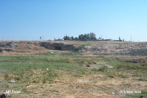
Wadi el Hammam |
||||
|
For cave maps and drawings please click on the picture... |
For photographs please click on the photo... |
|||
|
 |
|||
|
Type: |
Cave | |||
|
Altitude: |
258 m | |||
|
Depth: |
m | |||
|
Length: |
m | |||
|
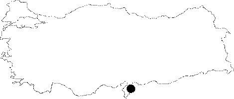
Region: |
Mediterranean | |||
|
Province: |
Hatay | |||
|
District: |
Reyhanli | |||
|
Village: |
Merkez | |||
|
|
||||
 |
||||
| Location: This site lies 1.7 km southeast of the town of Reyhanli; which is southeast of the city of Antakya. |
| Structural Properties and formation : It is one of the many caves at the beginning of a small valley located within the limestone rocks by the Amik Plain; 500 m southwest of the mound of Tell El Cüdeyde near the Turkish-Syrian border. One of the seasonal creeks supplying the Amik Plain passes near to the cave. |
| Research History: It was found by M.C. Prost in 1932; and it was excavated with a small drill; by a team led by T.P. O'Brien; a prehistoric archaeologist; with the financial support of the Syrian Explorations. |
| Findings: Presence of settlements can be traced by the presence of cultural layers as well as small findings in the cave. Based on this; it is stated that there are 4 different layers. The fourth layer from the top which is 166 cm deep is dated to the Ceramic Neolithic era depending on the findings. |