|
|
||||
|
|
||||
|
Bedre Magarasi |
||||
|
For cave maps and drawings please click on the picture... |
For photographs please click on the photo... |
|||
|
 |
|||
|
Type: |
Cave | |||
|
Altitude: |
84 m | |||
|
Depth: |
m | |||
|
Length: |
m | |||
|
Region: |
Marmara | |||
|
Province: |
Kirklareli | |||
|
District: |
Merkez | |||
|
Village: |
Kayali | |||
|
|
||||
 |
||||

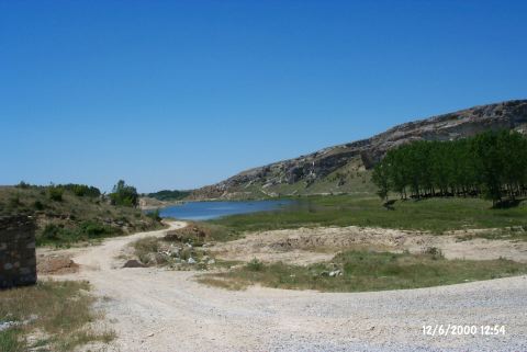
| It is located in the Kayali (Bedre) Village of the Inece District of Kirklareli. To the east flows the Tekkeköy Creek. It lies on the rocky elevations on the northwestern benches of the creek. The southern and southeastern slopes of the creek are used for stone quarry. To northeast lies a bridge over the creek. It has two entrances facing south. The small one to the south has been occluded by rocks. It has a very large front gallery and it elongates northwestward on back. |
| Location: |
| Structural Properties and formation : |
| Research History: |
| Findings: |