|
|
||||
|
|
||||
|
Cendere Magarasi |
||||
|
For cave maps and drawings please click on the picture... |
For photographs please click on the photo... |
|||
|
 |
|||
|
Type: |
Cave | |||
|
Altitude: |
500 m | |||
|
Depth: |
m | |||
|
Length: |
m | |||
|
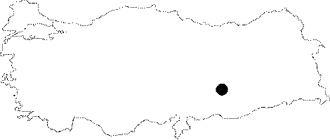
Region: |
Southeastern Anatolia | |||
|
Province: |
Adiyaman | |||
|
District: |
Kahta | |||
|
Village: |
Kilisik | |||
|
|
||||
 |
||||
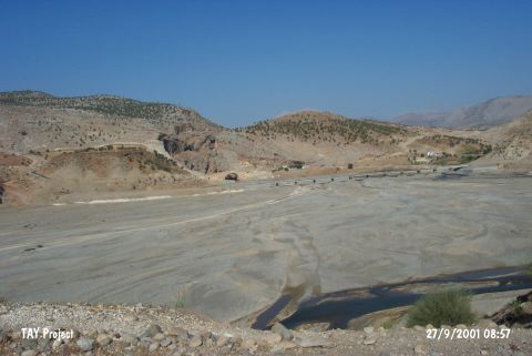
| Location: This site is 35 km northeast of the city of Adiyaman; near the Cendere Bridge which spans across Cendere Stream; a branch of Kahta Stream. On a 1:100;000 map; on map section M 41; there are numerous symbols indicating the presence of caves on the southern slopes of the rock outcrops northwest of the bridge and the northern slopes of the rock outcrop west of the bridge. It is possible to easily reach this site via the asphalt highway to Kahta and Nemrut Dag. |
| Structural Properties and formation : It is a small cave. It is probably on the northwestern side of the bridge; which is dating back to the Roman Period on the Cendere Suyu (ancient Chabinas). Its exact location is not known. Although it has been stated to be big enough to call it a cave; no details have been provided about its dimension. |
| Research History: A small excavation was carried out to the extent of a sounding under the supervision of F.K. Dörner and R. Naumann. |
| Findings: Potsherds of the Syrian dark-face burnished ware were recovered in the lower layer of the cave. |