|
©The Archaeological Settlements of Turkey - TAY Project
|
|
|
|
|
 |
Isaurapolis Bazilikasi |
|
|
|
|
For site maps and drawings please click on the picture... 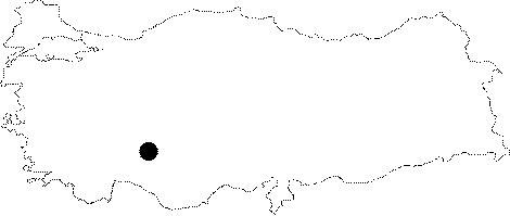 |
For photographs please click on the photo...  |
|
|
|
|
Type:
|
Church |
|
Plan Type:
|
Basilica |
|
Year of Costruction:
|
|
|
Phase:
|
Early |
|
Investigation Method:
|
Survey |
|
Altitude:
|
|
|
|
|
|
Region:
|
Central Anatolia |
|
Province:
|
Konya |
|
District:
|
Bozkir |
|
Village:
|
Hacilar |
|
Antique Name:
|
Isaura Nova - Isaurapolis |
|
|
|
  |
|
| Location: It is located within the borders of Bozkir District of Konya Province. It is situated in the ancient city of Zengibar Castle (Isaura Nova-Isaurapolis), 16 km far from Bozkir on Konya-Bozkir motorway. It is located near the entrance of the ancient city. |
| Geography and Environment: |
| Research and Excavation: It was researched by Swoboda and Knoll in the beginning of the 20th century [Swoboda-Knoll 1935]. |
| Description: Architectural Features: The church was built with regular cut stones. It is adjacent to the north of the Hadrian Arch. Only traces of foundation of the church can be seen today. The narthex and the naos are filled with stones belonging to the structure. The church consists of the rectangular planned narthex in the west and the naos that is accessible from the narthex. There is a semicircular apse in the east of the church. It is believed that the naos has three naves. It is stated that the structure was used as civil basilica in Roman Period. Decorative Features: The main decorative feature found in the structure is the decorated architectural plastic fragments. |
| Finds: |
| Interpretation: |
| Destruction: |

