|
©The Archaeological Settlements of Turkey - TAY Project
|
|
|
|
|
|
Garipoglu Kayasi |
|
|
For site maps and drawings please click on the picture...  |
For photographs please click on the photo... 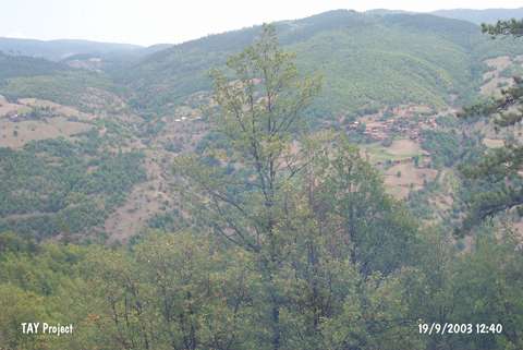 |
|
Type:
|
Slope Settlement |
|
Altitude:
|
940 m |
|
Region:
|
Black Sea |
|
Province:
|
Kastamonu |
|
District:
|
Tasköprü |
|
Village:
|
Akçakese |
|
Investigation Method:
|
Survey |
|
Period:
|
|
|
|
|
 |
|
| The site lies 75 km northwest of Garipogullari Mahallesi of Akcakese village of Tasköprü district of the city of Kastamonu. It was discovered during the Kastamonu Survey conducted by A. Özdogan; C. Marro and A. Tibet in 1996. Chalcolithic Age; EBA 1; IA and Hellenistic Period finds were collected from the surface. The location code of the site is B 34 / 3. |
| Location: |
| Geography and Environment: |
| History: |
| Research and Excavation: |
| Stratigraphy: |
| Small Finds: |
| Remains: |
| Interpretation and Dating: |