|
©The Archaeological Settlements of Turkey - TAY Project
|
|
|
|
|
|
Gaventepe |
|
|
For site maps and drawings please click on the picture...  |
For photographs please click on the photo... 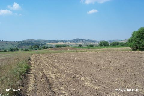 |
|
Type:
|
Mound |
|
Altitude:
|
230 m |
|
Region:
|
Marmara |
|
Province:
|
Balikesir |
|
District:
|
Ivrindi |
|
Village:
|
Gökçeyazi |
|
Investigation Method:
|
Survey |
|
Period:
|
EBA II EBA III |
|
|
|
 |
|
| It lies about 2 km east of a high hill called Öküztepe; 1 km north of the Balikesir-Edremit motorway; about 3 km east of Gökçeyazi (Ergama) Village; west of Balikesir Province. It measures 100x4 m. To the north flows the Gavenli stream. It was discovered in 1968 by D.H. French. Black; gray; brown and reddish brown; burnished and sometimes washed EBA pottery with a mica and grit tempered paste was collected from the surface. Forms of bowls with inrolled rims are common. It takes place in the registered archaeological sites list prepared by Ministry of Culture and Tourism. |
| Location: |
| Geography and Environment: |
| History: |
| Research and Excavation: |
| Stratigraphy: |
| Small Finds: |
| Remains: |
| Interpretation and Dating: |