|
©The Archaeological Settlements of Turkey - TAY Project
|
|
|
|
|
|
Gebrem Höyük |
|
|
For site maps and drawings please click on the picture...  |
For photographs please click on the photo... 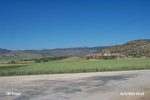 |
|
Type:
|
Mound |
|
Altitude:
|
1210 m |
|
Region:
|
Mediterranean |
|
Province:
|
Burdur |
|
District:
|
Yesilova |
|
Village:
|
Çaltepe |
|
Investigation Method:
|
Survey |
|
Period:
|
|
|
|
|
 |
|
| It lies west of Karamanli-Tefenni motorway; 900 m east-southeast of Çaltepe village; south of Yesilova District of Burdur. It is large mound middle of a wide plain. Its skirts has been leveled. It was discovered by J. Mellaart and dated to EBA according to the collected material. It takes place in the registered archaeological sites list prepared by Ministry of Culture and Tourism. |
| Location: |
| Geography and Environment: |
| History: |
| Research and Excavation: |
| Stratigraphy: |
| Small Finds: |
| Remains: |
| Interpretation and Dating: |