|
©The Archaeological Settlements of Turkey - TAY Project
|
|
|
|
|
|
Kinik |
|
|
For site maps and drawings please click on the picture...  |
For photographs please click on the photo... 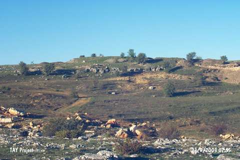 |
|
Type:
|
Slope Settlement |
|
Altitude:
|
1070 m |
|
Region:
|
Black Sea |
|
Province:
|
Kastamonu |
|
District:
|
Devrekani |
|
Village:
|
Kinik |
|
Investigation Method:
|
Excavation |
|
Period:
|
|
|
|
|
 |
|
| Location: It is located on Delibeyoglu Ridge in the territory of the Kulaksizlar Dam; northwest of Kinik Village; 10 km northeast of Devrakani District and Kastamonu Province. |
| Geography and Environment: |
| History: |
| Research and Excavation: |
| Stratigraphy: |
| Small Finds: |
| Remains: |
| Interpretation and Dating: |