|
©The Archaeological Settlements of Turkey - TAY Project
|
|
|
|
|
|
Güzir Höyük |
|
|
For site maps and drawings please click on the picture... 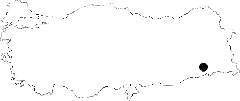 |
For photographs please click on the photo...  |
|
Type:
|
Mound |
|
Altitude:
|
700 m |
|
Region:
|
Southeastern Anatolia |
|
Province:
|
Siirt |
|
District:
|
Eruh |
|
Village:
|
Baggöze |
|
Investigation Method:
|
Survey |
|
Period:
|
Aceramic |
|
|
|
 |
|
| Location: This site lies south of the city of Siirt; west of the town of Eruh and northwest of the village of Baggözü (also known as Girden). |
| Geography and Environment: The site is located by Güsir Lake; which is fed by Botan (Bohtan) Stream; a tributary of the Tigris River and Kavaközü Stream. This lake appears on map section M 47 on a 1:100.000 scaled map. Although the mound is reported to be "middle-sized" the exact dimensions have not been given. When the site was surveyed in 1988-90; the upper part of the mound was reported to be used; as a grove while the bottom part was a rice field. Kavaközü Stream forks by the flat area by the mound. There appears to be a 3-4 m thick material cultural deposit on the side of the mound that faces the lake. From the artifact distributions; it has been determined that the size of the mound is 2-3 hectares. |
| History: |
| Research and Excavation: The site was discovered in 1988-90 by a survey crew under the direction of G. Algaze during the survey of the Tigris Region and especially the Bohtan Valley; which was expected to be flooded by the Ilisu Dam Lake. In 2000; the site was reinvestigated by a team under the directorship of J. Velibeyoglu during their survey in Botan Valley and Çattepe (Tilli); as a part of the METU TAÇDAM Salvage Project of the Archaeological Heritage of the Ilisu and Carchemish Dam Reservoirs. |
| Stratigraphy: The stratigraphy of the mound could not be determined because no excavation was conducted and the existing profile did not provide stratigraphic evidence. It has not been reported whether there are other periods at this site in addition to the Aceramic Neolithic. During the survey conducted in 2000; there were no finds encountered belonging to the periods later than the Aceramic Neolithic [Velibeyoglu et al. 2002:784]. |
| Small Finds: Chipped Stone: Most of the artifacts were collected on the side of the mound facing the lake. Analysis of the chipped stone tools revealed that only 3% was obsidian. End scrapers; rounded scrapers; mallet-like scrapers are the most commonly found tool types [Algaze et al. 1991:fig.12/15]. Blade cores with one or opposed striking platforms were also found. Survey yielded no microliths. During the survey in 2000; numerous flint and obsidian tools were collected. Although the finds typologically resemble the other settlements in Southeastern Anatolia; they are different from the Ceramic Neolithic materials [Velibeyoglu et al. 2002:784]. Ground Stone: Many mortars were found on the surface of the mound. Due to their large sizes; these artifacts were not collected. The stone tools were also encountered in 2000 [Velibeyoglu et al. 2002:784]. |
| Remains: |
| Interpretation and Dating: According to the finds collected during the survey conducted by G. Algaze; the site was assigned to the Aceramic Neolithic Period [Algaze et al. 1991:189]. The survey carried out in 2000 has also verified this result. There were no materials encountered dating to a later period. It is suggested that; Güzir Höyük was one of the very rare settlements founded on a mountainous area instead of a plain. The existence of the obsidian tools indicates a barter system extending through the Van Lake Area using the river roads of Botan and Bitlis [Velibeyoglu et al. 2002:784]. |