|
©The Archaeological Settlements of Turkey - TAY Project
|
|
|
|
|
|
Haci Bozan |
|
|
For site maps and drawings please click on the picture... 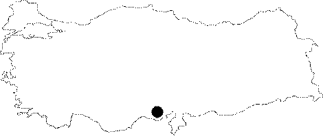 |
For photographs please click on the photo... 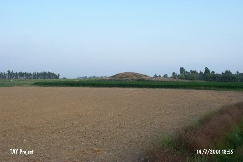 |
|
Type:
|
Mound |
|
Altitude:
|
150 m |
|
Region:
|
Mediterranean |
|
Province:
|
Mersin |
|
District:
|
Tarsus |
|
Village:
|
Hacibozan |
|
Investigation Method:
|
Survey |
|
Period:
|
|
|
|
|
 |
|
| This site lies south of the village of Haci Bozan; 10 km east of the town of Tarsus; 1 km south of the Tarsus-Adana highway; northeast of the city of Mersin. It is a small mound; 5 m high. The top hill is flat. It was discovered during the Cilicia survey conducted under M.V. Seton-Williams. Sherds of the Chalcolithic Age; the EBA and the Roman Period were collected from the surface. Also; sherds of the metallic ware were recovered during the collection of J. Mellaart. |
| Location: |
| Geography and Environment: |
| History: |
| Research and Excavation: |
| Stratigraphy: |
| Small Finds: |
| Remains: |
| Interpretation and Dating: |