|
©The Archaeological Settlements of Turkey - TAY Project
|
|
|
|
|
|
Kubad-abad |
|
|
For site maps and drawings please click on the picture...  |
For photographs please click on the photo... 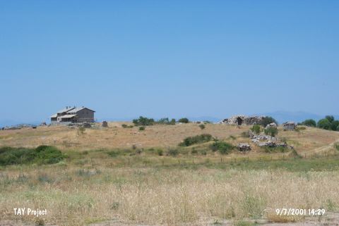 |
|
Type:
|
Flat Settlement |
|
Altitude:
|
1100 m |
|
Region:
|
Mediterranean |
|
Province:
|
Konya |
|
District:
|
Beysehir |
|
Village:
|
Gölyaka |
|
Investigation Method:
|
Excavation |
|
Period:
|
|
|
|
|
 |
|
| It lies where rose a Seljukian palace; on the west-southwestern bank of the Lake Beysehir; northeast of Konya Province. It was introduced by J. Mellaart as an EBA settlement under the name of Topraktol. First excavations at Kubad Abad were launched by K. Otto-Durn in between 1965 and 1966. Than from 1980 to 2017 R. Arik excavated at the site. Since 2018, M. Çeken has been leading the excavations at Kubad Abad. The excavation aiming to investigate the palace yielded finds belonging to an EBA settlement as a result of the sounding carried out on the northern end of the palace. Sherds of brick-red ware were found. A small and intact jug with lugs was recovered as well as finds in obsidian. The square XXXII-HH yielded a double pithos burial in hocker position [Arik 1992:fig.33]. |
| Location: |
| Geography and Environment: |
| History: |
| Research and Excavation: |
| Stratigraphy: |
| Small Finds: |
| Remains: |
| Interpretation and Dating: |