|
©The Archaeological Settlements of Turkey - TAY Project
|
|
|
|
|
|
Alacahöyük |
|
|
For site maps and drawings please click on the picture...  |
For photographs please click on the photo... 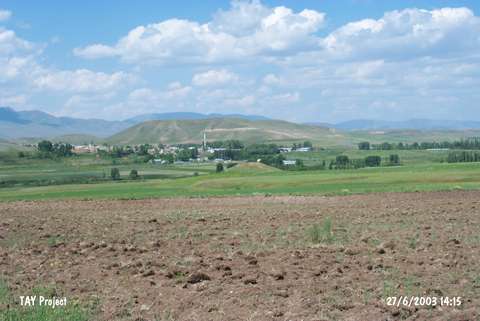 |
|
Type:
|
Mound |
|
Altitude:
|
1750 m |
|
Region:
|
Eastern Anatolia |
|
Province:
|
Erzurum |
|
District:
|
Ilica |
|
Village:
|
Alaca |
|
Investigation Method:
|
Survey |
|
Period:
|
|
|
|
|
 |
|
| It lies 1 km west-southwest of the village of Alaca; north of the 28th kilometer of Erzurum-Kandilli motorway; on the bank of Karasu. It is surrounded by fields. The site is not documented in detail. It was discovered by S. Güneri. The site is locally known as Tilkitepe and measures 55x65 m in diameter and 20 m in height. It is 200 m long. The materials were seen more abundantly on the western section. During the survey; limited number of red-black and dark red burnished sherds was collected. A few sherds with reliefs were recovered as well as the samples of the painted ware datable to the second millennium BC. It is reported that obsidian and grinding stones were also found during the 2001 survey. The collected material indicates the presence of Karaz type EBA; Early Iron Age and Medieval periods. It takes place in the registered archaeological sites list prepared by Ministry of Culture and Tourism. |
| Location: |
| Geography and Environment: |
| History: |
| Research and Excavation: |
| Stratigraphy: |
| Small Finds: |
| Remains: |
| Interpretation and Dating: |