|
©The Archaeological Settlements of Turkey - TAY Project
|
|
|
|
|
|
Hasarkaya |
|
|
For site maps and drawings please click on the picture...  |
For photographs please click on the photo... 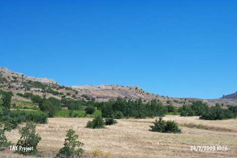 |
|
Type:
|
Flat Settlement |
|
Altitude:
|
1120 m |
|
Region:
|
Eastern Anatolia |
|
Province:
|
Malatya |
|
District:
|
Hekimhan |
|
Village:
|
Ballikaya |
|
Investigation Method:
|
Survey |
|
Period:
|
Early |
|
|
|
 |
|
| The 150x75 m site lies at Beyhacievleri Mevkii; 3 km north of Ballikaya Village; northwest of Hekimhan District of Malatya. It is located on the northeastern section of a rock facing the Uluçay. It was discovered by C.A. Burney in 1956. Sherds; dating to the Halaf-Ubaid Transition Period; were collected from the surface. According to Burney; Hasarkaya is a Chalcolithic Age settlement. The site is dated to the 7th phase in ASPRO. |
| Location: |
| Geography and Environment: |
| History: |
| Research and Excavation: |
| Stratigraphy: |
| Small Finds: |
| Remains: |
| Interpretation and Dating: |