|
©The Archaeological Settlements of Turkey - TAY Project
|
|
|
|
|
|
Hasiye |
|
|
For site maps and drawings please click on the picture...  |
For photographs please click on the photo... 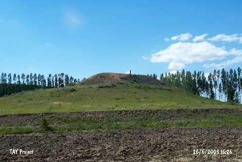 |
|
Type:
|
Mound |
|
Altitude:
|
1870 m |
|
Region:
|
Black Sea |
|
Province:
|
Bayburt |
|
District:
|
Demirözü |
|
Village:
|
Aksaçli |
|
Investigation Method:
|
Survey |
|
Period:
|
|
|
|
|
 |
|
| It lies immediately west-northwest of Sancaktepe-Aksaçli road; 500 m north of the village of Aksaçli (Hasiye) in the district of Demirözü; province of Bayburt. The mound is locally known as Tepeardi. A tributary of Çorun river flows from the west-southwest. It is surrounded by cultivated fields. |
| Location: |
| Geography and Environment: |
| History: |
| Research and Excavation: |
| Stratigraphy: |
| Small Finds: |
| Remains: |
| Interpretation and Dating: |