|
©The Archaeological Settlements of Turkey - TAY Project
|
|
|
|
|
|
Alibey |
|
|
For site maps and drawings please click on the picture...  |
For photographs please click on the photo... 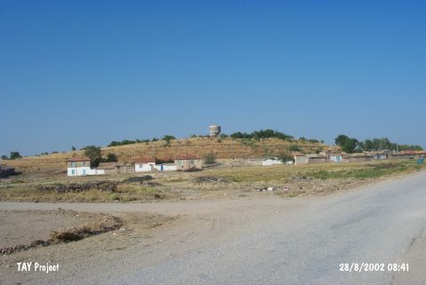 |
|
Type:
|
Mound |
|
Altitude:
|
1130 m |
|
Region:
|
Central Anatolia |
|
Province:
|
Konya |
|
District:
|
Çumra |
|
Village:
|
Alibeyhüyügü |
|
Investigation Method:
|
Survey |
|
Period:
|
Middle Late |
|
|
|
 |
|
| The mound lies south of Konya-Karaman motorway; in Alibeyhöyügü Town west-southwest of Çumra District of Konya Province. It is a pretty large mound measuring 500x400x30 m. In 1958; the site was discovered by J. Mellaart; who claimed that it was a Chalcolithic settlement. Red slipped; buff ware were found on the surface. It takes place in the registered archaeological sites list prepared by Ministry of Culture and Tourism. |
| Location: |
| Geography and Environment: |
| History: |
| Research and Excavation: |
| Stratigraphy: |
| Small Finds: |
| Remains: |
| Interpretation and Dating: |