|
©The Archaeological Settlements of Turkey - TAY Project
|
|
|
|
|
|
Alikirpun 1 / Girmakara 1 |
|
|
For site maps and drawings please click on the picture...  |
For photographs please click on the photo... 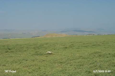 |
|
Type:
|
Mound |
|
Altitude:
|
1400 m |
|
Region:
|
Eastern Anatolia |
|
Province:
|
Mus |
|
District:
|
Korkut |
|
Village:
|
Kocatarla |
|
Investigation Method:
|
Survey |
|
Period:
|
|
|
|
|
 |
|
| It is located north of the Alazli road; 2 km east of Kocatarla (Alikirpun); Korkut Sub-District; east of Mus Province. It measures 15 m in height; and 300 in diameter in accordance with the distribution of the pottery. South of the mound is Mus-Bitlis motorway; north of it train station and east of it is Alazli Höyük. It was discovered by Kökten under the name of Ali Kirpo. A. Sagona refers to the same place as Alikirpuni. The surface collection carried out by C.A. Burney yielded sherds of the black burnished Karaz ware and the red-brown EBA ware. It is referred to as Alipirkuni in some publications and Alipirko in others. It is also known as Girmakirak by local people. Rothmann uses the name of Girmakara I for this place. Also; very well burnished Karaz/Kura-Aras ware was recovered. Besides channel decorated sherds; sherds of short-necked vessels were found [Rothman-Kozbe 1997:fig k.10/a-c]. |
| Location: |
| Geography and Environment: |
| History: |
| Research and Excavation: |
| Stratigraphy: |
| Small Finds: |
| Remains: |
| Interpretation and Dating: |