|
©The Archaeological Settlements of Turkey - TAY Project
|
|
|
|
|
|
Kaleciktepe |
|
|
For site maps and drawings please click on the picture...  |
For photographs please click on the photo... 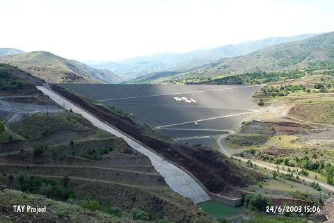 |
|
Type:
|
Mound |
|
Altitude:
|
1540 m |
|
Region:
|
Eastern Anatolia |
|
Province:
|
Erzincan |
|
District:
|
Merkez |
|
Village:
|
Çatalarmut |
|
Investigation Method:
|
Excavation |
|
Period:
|
EBA II |
|
|
|
 |
|
| It was located west of Çatalarmut (Kamarik) Village; about 25 km southwest of Erzincan Province. A salvage excavation was carried out for a period of one year only under H. Özkorucuklu assigned by the Museum of Erzurum since Kalecik Höyük would have been flooded by the irrigation channel of the dam erected on the Göyne Stream. The salvage dig yielded a settlement surrounded by city walls dating from the seventh millennium BC followed by another settlement where sherds dating from before or the mid of the third millennium BC were recovered. A relief decorated basin and geometrically decorated sherds found here are claimed to be left by the nomadic groups. No EBA building was revealed. The mound has been severely destroyed. It takes place in the registered archaeological sites list prepared by Ministry of Culture and Tourism. |
| Location: |
| Geography and Environment: |
| History: |
| Research and Excavation: |
| Stratigraphy: |
| Small Finds: |
| Remains: |
| Interpretation and Dating: |