|
©The Archaeological Settlements of Turkey - TAY Project
|
|
|
|
|
|
Karacasar |
|
|
For site maps and drawings please click on the picture...  |
For photographs please click on the photo... 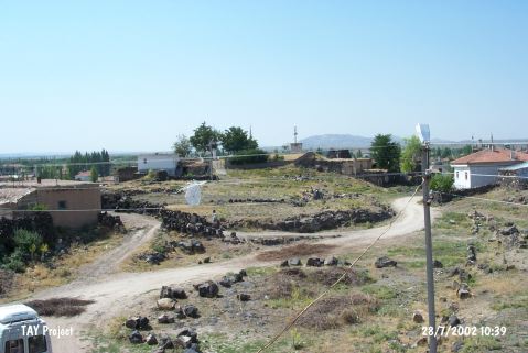 |
|
Type:
|
Mound |
|
Altitude:
|
1025 m |
|
Region:
|
Central Anatolia |
|
Province:
|
Nevsehir |
|
District:
|
Gülsehir |
|
Village:
|
Karacasar |
|
Investigation Method:
|
Survey |
|
Period:
|
|
|
|
|
 |
|
| It stands on a volcanic hill; northwestern part of Karacasar Sub-District; 7 km southwest of Gülsehir District; northwest of Nevsehir Province. It measures ca. 10 m in height. At present it is used as a park and surrounded by the modern settlement. The top hill is claimed to measure 15x25 m in dimensions. The surface collection carried out in 1997 by S.Y. Senyurt revealed that the site had been inhabited during the EBA; the MBA-LBA and the Iron Age. It takes place in the registered archaeological sites list prepared by Ministry of Culture and Tourism. |
| Location: |
| Geography and Environment: |
| History: |
| Research and Excavation: |
| Stratigraphy: |
| Small Finds: |
| Remains: |
| Interpretation and Dating: |