|
©The Archaeological Settlements of Turkey - TAY Project
|
|
|
|
|
|
Karaçayir Mevkii 2 |
|
|
For site maps and drawings please click on the picture...  |
For photographs please click on the photo... 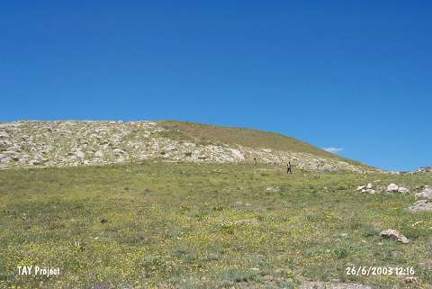 |
|
Type:
|
Slope Settlement |
|
Altitude:
|
1820 m |
|
Region:
|
Black Sea |
|
Province:
|
Bayburt |
|
District:
|
Demirözü |
|
Village:
|
Bayrampasa |
|
Investigation Method:
|
Survey |
|
Period:
|
|
|
|
|
 |
|
| It is adjacent to the road running to Bayrampasa and Çakiröz Villages; about 31 km west-southwest of Bayburt; northwest of Demirözü of Bayburt Province. The slope settlement located between the stream and hills was discovered during the Bayburt Survey conducted under A. Sagona in 1991. Distribution of pottery exposed roughly that it is an oval mound. It measures 240x45 m in dimensions. It has been slightly damaged by a ditch opened for irrigation. Two walls with a distance of 1.3 m in between were observed. Materials collected from the ditch; its section and surface of the mound suggest that it is a single phased settlement. The EBA material of the Early Transcaucasian origin was collected. Beautiful samples of incision and relief-excision decorated ware were recovered. Geometrical patterns were applied [Sagona 1993:262; fig.2/1; 3; 5]. |
| Location: |
| Geography and Environment: |
| History: |
| Research and Excavation: |
| Stratigraphy: |
| Small Finds: |
| Remains: |
| Interpretation and Dating: |