|
©The Archaeological Settlements of Turkey - TAY Project
|
|
|
|
|
|
Karadilli |
|
|
For site maps and drawings please click on the picture...  |
For photographs please click on the photo... 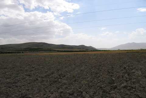 |
|
Type:
|
Mound |
|
Altitude:
|
1135 m |
|
Region:
|
Aegean |
|
Province:
|
Afyonkarahisar |
|
District:
|
Suhut |
|
Village:
|
Karaadilli |
|
Investigation Method:
|
Survey |
|
Period:
|
|
|
|
|
 |
|
| It is in Develi Mevkii; about 1.8 km east of Karadilli Village; southwest of the Lake Karamik; south-southeast of Afyonkarahisar Province. It lies to the north of Dinar-Karadilli road. There are quite a lot of mounds in the Çamur Plain immediate north of the village. It is not clear which one is Karadilli in the guide of the Afyon Archaeological Museum. The 1:200.000 map illustrates two mounds to the northwest of the village. One of them is Hasanli Höyügü. To the north lies Kepilyurt Höyügü and to the east lies Ikizhöyük. |
| Location: |
| Geography and Environment: |
| History: |
| Research and Excavation: |
| Stratigraphy: |
| Small Finds: |
| Remains: |
| Interpretation and Dating: |