|
©The Archaeological Settlements of Turkey - TAY Project
|
|
|
|
|
|
Karapinar |
|
|
For site maps and drawings please click on the picture...  |
For photographs please click on the photo... 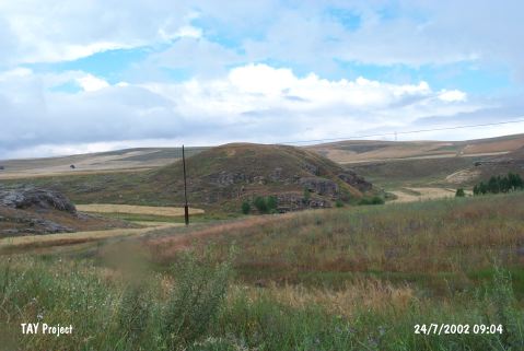 |
|
Type:
|
Mound |
|
Altitude:
|
1500 m |
|
Region:
|
Central Anatolia |
|
Province:
|
Kayseri |
|
District:
|
Bünyan |
|
Village:
|
Karapinar |
|
Investigation Method:
|
Survey |
|
Period:
|
|
|
|
|
 |
|
| It lies 200 m south of the motorway; while entering to the Bünyan Valley. It is situated on a rocky platform; 10 km southeast of Bünyan; east-northeast of Kayseri Province. It is a flat and small mound. It measures 12 m in height and 60x80 m in dimensions. It was visited by J.M. Brown. Sherds of black rimmed ware belonging to the EBA were collected from the surface. |
| Location: |
| Geography and Environment: |
| History: |
| Research and Excavation: |
| Stratigraphy: |
| Small Finds: |
| Remains: |
| Interpretation and Dating: |