|
©The Archaeological Settlements of Turkey - TAY Project
|
|
|
|
|
|
Alyahanun |
|
|
For site maps and drawings please click on the picture...  |
For photographs please click on the photo... 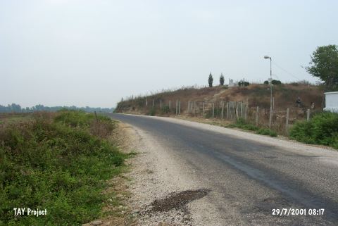 |
|
Type:
|
Mound |
|
Altitude:
|
65 m |
|
Region:
|
Mediterranean |
|
Province:
|
Adana |
|
District:
|
Karatas |
|
Village:
|
Yerdelen |
|
Investigation Method:
|
Survey |
|
Period:
|
Middle |
|
|
|
 |
|
| The mound lies 100 m west of Seyhan River; 1.2 km northeast of Yerdelen Village; 19 km south-southwest of Adana Province. It is 20 m height and 120x60 m in size. A modern farm and an Islamic cemetery occupy the site. It has been interpreted that due to the collected pottery in the 1951 Cilicia Survey; the site was occupied from the Chalcolithic Age to the Roman Period. The mound dates back to the 9th phase in ASPRO. |
| Location: |
| Geography and Environment: |
| History: |
| Research and Excavation: |
| Stratigraphy: |
| Small Finds: |
| Remains: |
| Interpretation and Dating: |