|
©The Archaeological Settlements of Turkey - TAY Project
|
|
|
|
|
|
Kayislar |
|
|
For site maps and drawings please click on the picture...  |
For photographs please click on the photo... 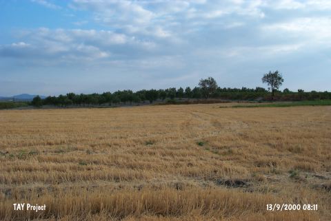 |
|
Type:
|
Mound |
|
Altitude:
|
100 m |
|
Region:
|
Aegean |
|
Province:
|
Manisa |
|
District:
|
Saruhanli |
|
Village:
|
Kayislar |
|
Investigation Method:
|
Survey |
|
Period:
|
Ceramic |
|
|
|
 |
|
| Location: This site lies northeast of the city of Manisa; northeast of the town of Saruhanli; approximately 400 km northeast of the village of Kayislar. It is possible to get to this site by taking the turnoff to Kayislar from the Manisa-Akhisar highway. |
| Geography and Environment: The small mound; which lies on a low ridge; is oval in shape. It is 80 m long north-south; 50 m long east-west and 3-4 m high. Today the surface of the mound is cultivated. There is a dirt village road on the eastern side of the mound and a spring at the western foot of the mound. In 1965; when the site was surveyed; the area west of the mound was a swamp. |
| History: |
| Research and Excavation: The site was discovered in 1965 by D.H. French. |
| Stratigraphy: The survey conducted by French at this site yielded Chalcolithic; Early; Middle and Late Bronze material as well as Neolithic ceramics indicating that the mound was inhabited for a long time. |
| Small Finds: Pottery: The survey at the site yielded Neolithic Plain Burnished Ware. French; although he is skeptical; believes that some of the painted pottery at the site may be Neolithic in date. He describes the Plain Burnished Ware as hand-made; chaff-tempered ware with red; gray or black slip. The most common vessel types are bowls and jars. |
| Remains: |
| Interpretation and Dating: The Neolithic levels at this site can roughly be dated to the sixth millennium BC. |