|
©The Archaeological Settlements of Turkey - TAY Project
|
|
|
|
|
|
Kinik |
|
|
For site maps and drawings please click on the picture...  |
For photographs please click on the photo... 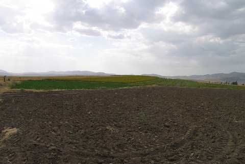 |
|
Type:
|
Mound |
|
Altitude:
|
1200 m |
|
Region:
|
Aegean |
|
Province:
|
Afyonkarahisar |
|
District:
|
Dinar |
|
Village:
|
Kinik |
|
Investigation Method:
|
Survey |
|
Period:
|
|
|
|
|
 |
|
| It lies 2.4 km west-northwest of Kinik Village; 30 km southeast of Sandikli; south of Afyonkarahisar Province. It is a pretty large mound in the middle of Çöl Plain. Various mounds are illustrated in the 1:200.000 map on the south and east of the village. The guide of the Afyon Archaeological Museum doesn't specify the one called "Kinik". It takes place in the registered archaeological sites list prepared by Ministry of Culture and Tourism. |
| Location: |
| Geography and Environment: |
| History: |
| Research and Excavation: |
| Stratigraphy: |
| Small Finds: |
| Remains: |
| Interpretation and Dating: |