|
©The Archaeological Settlements of Turkey - TAY Project
|
|
|
|
|
|
Kuzeren |
|
|
For site maps and drawings please click on the picture...  |
For photographs please click on the photo... 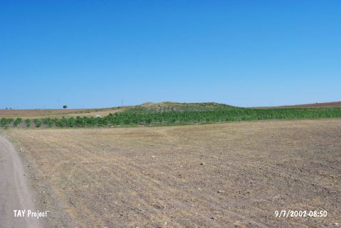 |
|
Type:
|
Mound |
|
Altitude:
|
1230 m |
|
Region:
|
Central Anatolia |
|
Province:
|
Kirikkale |
|
District:
|
Merkez |
|
Village:
|
Kizildere |
|
Investigation Method:
|
Survey |
|
Period:
|
Late |
|
|
|
 |
|
| The mound lies 700 m northwest of the Kirikkale-Kizildere road; 1.5 km southwest of Kizildere Village; 9 km northeast of Kirikkale. It measures 175 m in diameter and 8.5 m in height. Exercises of ploughing and illicit digging have destroyed the mound partially. It is discovered in 1991 by the Japanese team conducted by S. Omura. From the surface; Chalcolithic Age and EBA sherds are collected and slag particles are recovered together with Iron Age sherds. Dating of the slag is problematic. |
| Location: |
| Geography and Environment: |
| History: |
| Research and Excavation: |
| Stratigraphy: |
| Small Finds: |
| Remains: |
| Interpretation and Dating: |