|
©The Archaeological Settlements of Turkey - TAY Project
|
|
|
|
|
|
Malaliki Magarasi |
|
|
For site maps and drawings please click on the picture... 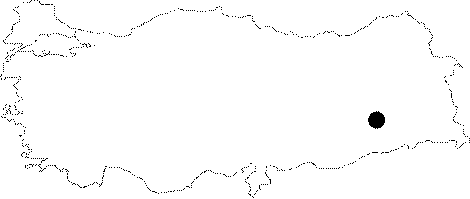 |
For photographs please click on the photo...  |
|
Type:
|
Rock Shelter |
|
Altitude:
|
m |
|
Region:
|
Southeastern Anatolia |
|
Province:
|
Diyarbakir |
|
District:
|
Silvan |
|
Village:
|
Kazandagi |
|
Investigation Method:
|
Survey |
|
Period:
|
ÜP OP EP |
|
|
|
 |
|
| Location: This rock-shelter site is in the province of Diyarbakir; northwest of the town of Silvan; 9.5 km; as the crow flies; northwest of the Batman dam fill; east-southeast of the village of Hokan; on the east flank of one of the branches feeding the Sarim Stream; approximately 700 meters from this larger stream. |
| Geography and Environment: Although the exact dimensions of this "rock-shelter" in the mountainous area by the village of Malaliki are not reported; because Rosenberg calls it a "cave"; it can be assumed that it is large in size. |
| History: |
| Research and Excavation: The site was discovered by Rosenberg during his 1990 archaeological survey of the Batman River Valley. |
| Stratigraphy: |
| Small Finds: The chipped stone tools found within the cave (?) indicate that occupation dates to the Middle Palaeolithic and the Epipalaeolithic periods. A few tools with Upper Palaeolithic qualities suggest that the cave was inhabited during this period as well. |
| Remains: |
| Interpretation and Dating: |