|
©The Archaeological Settlements of Turkey - TAY Project
|
|
|
|
|
|
Marmaracik |
|
|
For site maps and drawings please click on the picture...  |
For photographs please click on the photo... 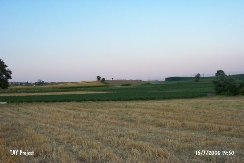 |
|
Type:
|
Mound |
|
Altitude:
|
292 m |
|
Region:
|
Marmara |
|
Province:
|
Bursa |
|
District:
|
Yenisehir |
|
Village:
|
Marmaracik |
|
Investigation Method:
|
Survey |
|
Period:
|
EBA II |
|
|
|
 |
|
| It lies about 3 km south of Marmaracik Village; immediate south of the Yenisehir-Bursa motorway; east of Bursa Province. This area is locally known as Tumba Mevkii. It measures 100x4 m. It was discovered by K. Bittel and investigated by J. Mellaart; J. Cullberg; D.H. French and M. Özdogan. Materials of the Neolithic Age; the EBA and the second millennium BC were collected from the surface. EBA material includes the black surfaced or black rimmed pottery called Yenisehir ware by D.H. French; also known as black burnished ware of Demircihöyük. It takes place in the registered archaeological sites list prepared by Ministry of Culture and Tourism. |
| Location: |
| Geography and Environment: |
| History: |
| Research and Excavation: |
| Stratigraphy: |
| Small Finds: |
| Remains: |
| Interpretation and Dating: |