|
©The Archaeological Settlements of Turkey - TAY Project
|
|
|
|
|
|
Mirtaz / Bastepe |
|
|
For site maps and drawings please click on the picture...  |
For photographs please click on the photo... 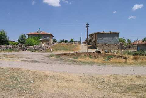 |
|
Type:
|
Mound |
|
Altitude:
|
1015 m |
|
Region:
|
Aegean |
|
Province:
|
Afyonkarahisar |
|
District:
|
Sandikli |
|
Village:
|
Bastepe |
|
Investigation Method:
|
Survey |
|
Period:
|
EBA II |
|
|
|
 |
|
| It is in the Bastepe (Mirtad) Village; 13 km west of Sandikli District; southwest of Afyonkarahisar Province. It lies to the east of the village's cemetery and east-northeast of the tomb called Üçler Dedesi. It was discovered by J. Mellaart. Sherds identical to the ones recovered from other EBA II settlements in the region were collected from the surface. The 1:200.000 map illustrates two mounds to the northwest of the village. However; it is uncertain which one of them is Mirtaz. |
| Location: |
| Geography and Environment: |
| History: |
| Research and Excavation: |
| Stratigraphy: |
| Small Finds: |
| Remains: |
| Interpretation and Dating: |