|
©The Archaeological Settlements of Turkey - TAY Project
|
|
|
|
|
|
Pulur / Sakyol |
|
|
For site maps and drawings please click on the picture... 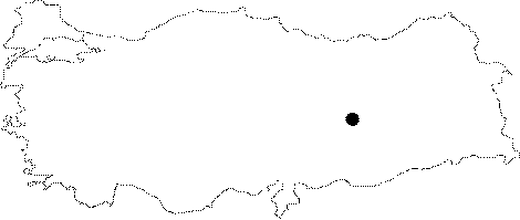 |
For photographs please click on the photo...  |
|
Type:
|
Mound |
|
Altitude:
|
800 m |
|
Region:
|
Eastern Anatolia |
|
Province:
|
Tunceli |
|
District:
|
Çemisgezek |
|
Village:
|
Sakyol |
|
Investigation Method:
|
Excavation |
|
Period:
|
Late |
|
|
|
 |
|
| Location: It was located immediate northeast of the village; 45 km northwest the Elazig Province before it was flooded by the Keban Dam. It was named after the nearest village as Sakyol/Pulur (some publications refer to as Pulur/Sakyol). Pulur was its former name; but its recent name is Sakyol. Unlike the naming of other mounds; both names are used. Pulur is the correct one; but in order to prevent any confusion with other mounds named Pulur; Pulur/Sakyol is preferred. The excavator uses both names alternately. However; K. Kökten who discovered this mound refers to it as Kültepe at Pulur [Kökten 1947:462]. |
| Geography and Environment: The mound was located 4-5 km far from the place where the Murat and Karasu streams join. It measured 20 m in height above the plain together with the natural hill underneath and 80x120 m in dimensions. It was a medium sized mound. It had steep slopes and a flat top hill. The thickness of the cultural deposit was measured around 13-15 m after the excavation. Even before submerged; it had been severely damaged by the modern village obscuring it. |
| History: |
| Research and Excavation: It was documented under code no. N 52/5 during a survey conducted by R. Whallon and S. Kantman in the context of the Keban Project in 1967 [Whallon-Kantman 1970:5; Whallon 1979:171]. As it was going to submerge; an urgent salvage excavation was started and continued for four seasons between 1968-1970 by H.Z. Kosay [Kosay 1976a]. |
| Stratigraphy: Virgin soil is met at a depth of 13-15 m and 13 levels are recovered during the excavations. The first 11 date back to the Early Bronze Age. A sterile layer of 1-1.5 m of thickness follows Level XI. Level XII and Level XIII are recovered in the sounding in a very limited area at the west of the mound. |
| Small Finds: Architecture: A wall segment from Level XII and a hearth from Level XIII represent the architecture of this period. Pottery: The recovered sherds are in various wares such as black burnished; pointille and incised decorated ware; dark red or gray non-burnished ware; white ware decorated with red wide bands. The gray ware resembles Ubaid and Uruk pottery. Those decorated with red bands are similar with those from Hacilar. And the black ware has affinities with Karaz Chalcolithic Age pottery. Clay: A baked clay lamb figurine is recovered. Chipped Stone: Flint stone blade; arrowhead and obsidian scrapers constitute the chipped stone finds. |
| Remains: |
| Interpretation and Dating: The mound; first labeled Sakyol then Pulur; is totally inundated by Keban Dam. Dating of the first two levels on virgin soil carry out ambiguities; still. There are neither metal finds nor 14C dates from these two. Kosay claims that these are Late Neolithic Age levels; but especially the black ware points out to the Chalcolithic Age. It is evident that the painted ware is the product of a local tradition. These earliest levels of the site are considered to belong to the 8/9th phase in ASPRO. |