|
©The Archaeological Settlements of Turkey - TAY Project
|
|
|
|
|
|
S 63/5 Siirtan |
|
|
For site maps and drawings please click on the picture...  |
For photographs please click on the photo... 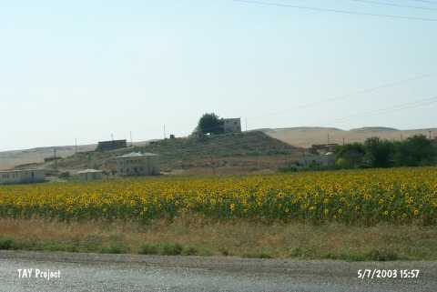 |
|
Type:
|
Mound |
|
Altitude:
|
910 m |
|
Region:
|
Southeastern Anatolia |
|
Province:
|
Siirt |
|
District:
|
Kurtalan |
|
Village:
|
Çayirli |
|
Investigation Method:
|
Survey |
|
Period:
|
Late |
|
|
|
 |
|
| The mound lies 35 km west of Siirt; about 12 km west of Kurtalan district; 200 m north of Kurtalan-Batman motorway. It is located in Çayirli (Siirtan) village. The eastern slope of this 25 m high mound with a diameter of 175 m is occupied by the village. In the 1963 survey report the existence of a house on the top of the mound is pointed. It lies in the narrow valley of Göl Deresi that runs today 100 m northwest of the mound. Sherds probably dating to Uruk Period are collected from the surface. The location code is S 63 / 5. |
| Location: |
| Geography and Environment: |
| History: |
| Research and Excavation: |
| Stratigraphy: |
| Small Finds: |
| Remains: |
| Interpretation and Dating: |