|
©The Archaeological Settlements of Turkey - TAY Project
|
|
|
|
|
|
S 63/5 Siirtan |
|
|
For site maps and drawings please click on the picture...  |
For photographs please click on the photo... 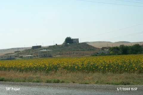 |
|
Type:
|
Mound |
|
Altitude:
|
910 m |
|
Region:
|
Southeastern Anatolia |
|
Province:
|
Siirt |
|
District:
|
Kurtalan |
|
Village:
|
Çayirli |
|
Investigation Method:
|
Survey |
|
Period:
|
|
|
|
|
 |
|
| It lies 200 m north of Kurtalan-Batman motorway; about 12 km west of Kurtalan District; west of Siirt Province. Çayirli Village leans against the eastern slope of the mound. To the northeast flows Göldere. It was first documented during the Prehistoric Survey of Southeastern Anatolia in 1963. It is a big mound measuring 25 m in height -together with the natural hill it stands on- and 175 m in diameter. The survey yielded sherds can be dated to the EBA. The location code is S 63 / 5. |
| Location: |
| Geography and Environment: |
| History: |
| Research and Excavation: |
| Stratigraphy: |
| Small Finds: |
| Remains: |
| Interpretation and Dating: |