|
©The Archaeological Settlements of Turkey - TAY Project
|
|
|
|
|
|
Sütlaç |
|
|
For site maps and drawings please click on the picture...  |
For photographs please click on the photo... 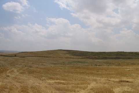 |
|
Type:
|
Mound |
|
Altitude:
|
950 m |
|
Region:
|
Aegean |
|
Province:
|
Afyonkarahisar |
|
District:
|
Dinar |
|
Village:
|
Sütlaç |
|
Investigation Method:
|
Survey |
|
Period:
|
EBA II |
|
|
|
 |
|
| It lies on the border of Afyon-Denizli; 2.7 km south-southwest of the village of Sütlaç; west of Dinar District; southwest of Afyonkarahisar Province. It was discovered by J. Mellaart. It was identified as an EBA II settlement and evaluated within the Beycesultan group. |
| Location: |
| Geography and Environment: |
| History: |
| Research and Excavation: |
| Stratigraphy: |
| Small Finds: |
| Remains: |
| Interpretation and Dating: |