|
©The Archaeological Settlements of Turkey - TAY Project
|
|
|
|
|
|
Tatarli |
|
|
For site maps and drawings please click on the picture...  |
For photographs please click on the photo... 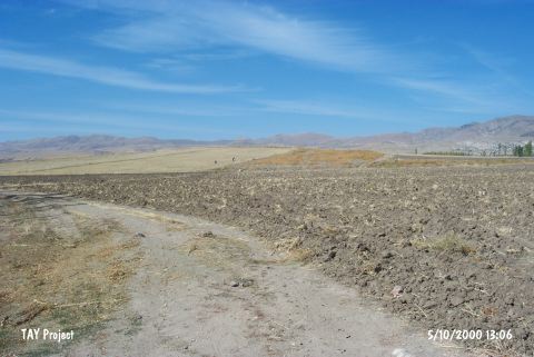 |
|
Type:
|
Mound |
|
Altitude:
|
1210 m |
|
Region:
|
Aegean |
|
Province:
|
Afyonkarahisar |
|
District:
|
Dinar |
|
Village:
|
Tatarli |
|
Investigation Method:
|
Survey |
|
Period:
|
EBA II |
|
|
|
 |
|
| The site lies northeast of the lake; dry in summer and swamp in winter (dried at present); situated in the middle of the Çölovasi Plain; south of Afyonkarahisar Province. It is a pretty wide and shallow mound in the east-west direction. It was discovered during the survey conducted by J. Mellaart. Pottery of EBA II was collected from the surface. |
| Location: |
| Geography and Environment: |
| History: |
| Research and Excavation: |
| Stratigraphy: |
| Small Finds: |
| Remains: |
| Interpretation and Dating: |