|
©The Archaeological Settlements of Turkey - TAY Project
|
|
|
|
|
|
S 63/6 Ayngerm |
|
|
For site maps and drawings please click on the picture...  |
For photographs please click on the photo... 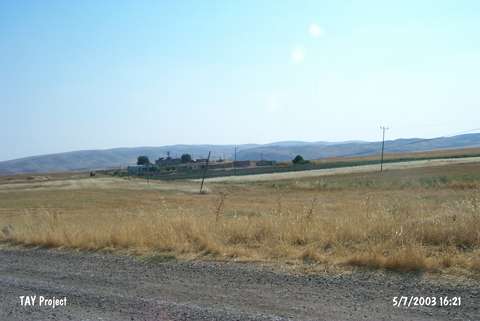 |
|
Type:
|
Mound |
|
Altitude:
|
910 m |
|
Region:
|
Southeastern Anatolia |
|
Province:
|
Siirt |
|
District:
|
Kurtalan |
|
Village:
|
Ayngerm |
|
Investigation Method:
|
Survey |
|
Period:
|
|
|
|
|
 |
|
| The mound lies 39.5 km east of Siirt; 12.5 km east-southeast of Kurtalan; in Ayngerm village. Batman-Kurtalan motorway passes 1.8 km north of the mound. A puddle is located 500 m north of the site. The ovoid mound is among the many settlements in the valley formed by Göl stream. The 25x100 m mound is 8 m in height. The site was discovered during the Southeastern Anatolia Survey in 1963; and potsherds dating back to the Uruk Period were found. Based on the knowledge in ASPRO; the pottery of Ayngerm resembles the pottery of Halaf [Hours et al. 1994:64]; although the researchers do not mention such finds. The location code of the mound is S 63 / 6. |
| Location: |
| Geography and Environment: |
| History: |
| Research and Excavation: |
| Stratigraphy: |
| Small Finds: |
| Remains: |
| Interpretation and Dating: |