|
©The Archaeological Settlements of Turkey - TAY Project
|
|
|
|
|
|
Tezköy |
|
|
For site maps and drawings please click on the picture...  |
For photographs please click on the photo... 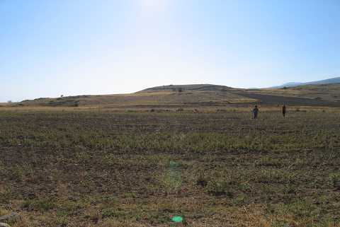 |
|
Type:
|
Mound |
|
Altitude:
|
1050 m |
|
Region:
|
Aegean |
|
Province:
|
Afyonkarahisar |
|
District:
|
Emirdag |
|
Village:
|
Tez |
|
Investigation Method:
|
Survey |
|
Period:
|
EBA III EBA II |
|
|
|
 |
|
| It is located north-northwest of Tez Village; 8 km south of Emirdag District as the crow flies; northeast of Afyonkarahisar Province. It is located on the Bolvadin-Emirdag motorway. It was discovered by J. Mellaart. It is an EBA II settlement. It is also included in the guide of the Afyon Archaeological Museum. It was revisited again during the survey performed by Ö. Koçak et al. in 2007 and typical EBA material were revealed. Horseshoe shaped grips, knot and hamper handles are among the most encountered specimens. Based on measurements the mound is 190m in north-south direction, 150 m northwest to southeast, and it is 25 m high[Koçak 2009:52]. |
| Location: |
| Geography and Environment: |
| History: |
| Research and Excavation: |
| Stratigraphy: |
| Small Finds: |
| Remains: |
| Interpretation and Dating: |