|
©The Archaeological Settlements of Turkey - TAY Project
|
|
|
|
|
|
Tilmiz |
|
|
For site maps and drawings please click on the picture...  |
For photographs please click on the photo... 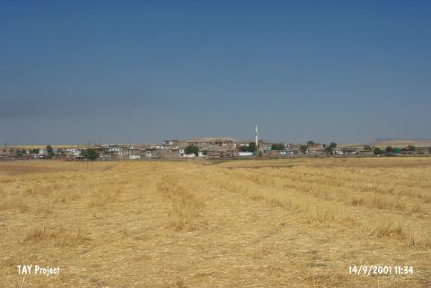 |
|
Type:
|
Mound |
|
Altitude:
|
620 m |
|
Region:
|
Southeastern Anatolia |
|
Province:
|
Batman |
|
District:
|
Merkez |
|
Village:
|
Akçaköy |
|
Investigation Method:
|
Survey |
|
Period:
|
|
|
|
|
 |
|
| It lies on the northeastern part of the Batman-Raman motorway; 4 km southeast of Batman Province. It is one of the rare settlements located in the Batman Plain. It measures 5 m in height and 30 m in diameter. Although it was stated that the slopes of the mound are obscured by the modern village; there is no village where P. Benedict indicated the mound is located. Tilmis Village is illustrated to the southeast of the mound in the section M 46 of the 1:100.000 map. Therefore; further investigation is necessary. It was first documented during the Prehistoric Survey of Southeastern Anatolia in 1963. EBA materials were recovered. It is coded under S 61 / 2. |
| Location: |
| Geography and Environment: |
| History: |
| Research and Excavation: |
| Stratigraphy: |
| Small Finds: |
| Remains: |
| Interpretation and Dating: |