|
©The Archaeological Settlements of Turkey - TAY Project
|
|
|
|
|
|
Tugayli 1 |
|
|
For site maps and drawings please click on the picture...  |
For photographs please click on the photo... 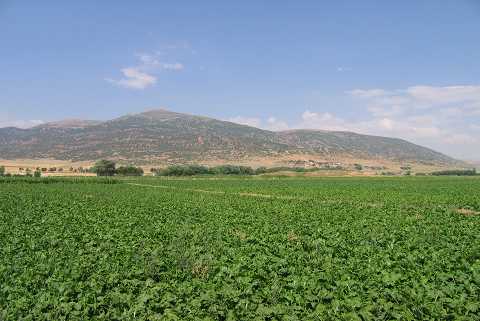 |
|
Type:
|
Mound |
|
Altitude:
|
905 m |
|
Region:
|
Aegean |
|
Province:
|
Afyonkarahisar |
|
District:
|
Dinar |
|
Village:
|
Tugayli |
|
Investigation Method:
|
Survey |
|
Period:
|
EBA II |
|
|
|
 |
|
| It lies 760 m east of the village of Tugayli; northwest of Yakaköy; west of Dinar District; southwest of Afyonkarahisar Province. It was discovered by J. Mellaart. It is an EBA II settlement. It was visited during the survey conducted by Ö. Koçak in 2013. It was mentioned as Köyalti Hüyük in Koçak's report. It was stated that the mound is located 600-700 m northeast of the village, 50 m southwest of Menderes River, 500 m west of Afyon-Denizli railroad. The mound measures 130 m in diameter and about 8 m in height. Potsherds belonging to Chalcolithic, EBA, MBA, Early IA (?) and Roman periods were found on the mound [Koçak 2015:364-365]. |
| Location: |
| Geography and Environment: |
| History: |
| Research and Excavation: |
| Stratigraphy: |
| Small Finds: |
| Remains: |
| Interpretation and Dating: |