|
©The Archaeological Settlements of Turkey - TAY Project
|
|
|
|
|
|
Tugayli 2 |
|
|
For site maps and drawings please click on the picture...  |
For photographs please click on the photo... 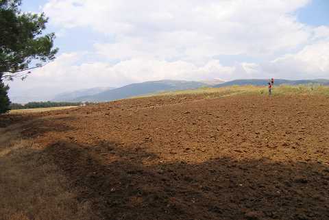 |
|
Type:
|
Mound |
|
Altitude:
|
930 m |
|
Region:
|
Aegean |
|
Province:
|
Afyonkarahisar |
|
District:
|
Dinar |
|
Village:
|
Kizilli |
|
Investigation Method:
|
Survey |
|
Period:
|
EBA II |
|
|
|
 |
|
| It lies 2 km south-southwest of the village of Kizilli; northwest of Dinar; southwest of Afyonkarahisar Province. Although the site is named after the village of Tugayli which is located to the east-southeast; currently it is included in the territory of Kizilli. This area is locally known as Betbasi and the mound as Karahöyük. It was included in the EBA II settlements like Tugayli I by J. Mellaart. It is located on the northeastern bank of the Menderes River. It was visited during the survey conducted by Ö. Koçak in 2013. It was mentioned as Kocakir Mevkii in Koçak's report. It was stated that the mound measures 120x90 m. During the studies a few potsherds that could be dated to EBA were found. The material belonging to Roman Period and Late Antiquity are more dense [Koçak 2015:365]. |
| Location: |
| Geography and Environment: |
| History: |
| Research and Excavation: |
| Stratigraphy: |
| Small Finds: |
| Remains: |
| Interpretation and Dating: |