|
©The Archaeological Settlements of Turkey - TAY Project
|
|
|
|
|
|
Yagca Tas Höyük |
|
|
For site maps and drawings please click on the picture... 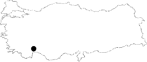 |
For photographs please click on the photo... 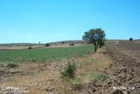 |
|
Type:
|
Mound |
|
Altitude:
|
820 m |
|
Region:
|
Mediterranean |
|
Province:
|
Antalya |
|
District:
|
Korkuteli |
|
Village:
|
Yalinligedigi |
|
Investigation Method:
|
Survey |
|
Period:
|
Ceramic |
|
|
|
  |
|
| Location: This site lies in Yagca Mevkii; 100 m south of the Bozova-Çaykenari road; 700 m northeast of the village of Yalingedigi; northeast of Korkuteli District of Antalya. |
| Geography and Environment: The Tas Höyük mound is 150 m east-west; 200 m north-south and lies atop a 150 m high ridge. |
| History: |
| Research and Excavation: The site was discovered in 1993 by M. Özsait during his Antalya-Korkuteli Surface Survey. |
| Stratigraphy: The material collected from the mound surface during the survey was assigned to the Late Neolithic-Early Chalcolithic Period and the Roman Period. |
| Small Finds: Pottery: Very few ceramics were found. The Late Neolithic-Early Chalcolithic ware is well-fired; dark buff in color and has fine grit tempering. It has been burnished and slipped with a brown wash both on the inner and outer surfaces. Chipped Stone: Many blades were found. Since none of the blades were used in the Roman Period; they are entirely Late Neolithic-Early Chalcolithic tools. |
| Remains: |
| Interpretation and Dating: According to Özsait; Yagca Höyük should be listed among the Late Neolithic-Early Chalcolithic sites of this region. |

