|
©The Archaeological Settlements of Turkey - TAY Project
|
|
|
|
|
|
Yassihöyük 1 |
|
|
For site maps and drawings please click on the picture...  |
For photographs please click on the photo... 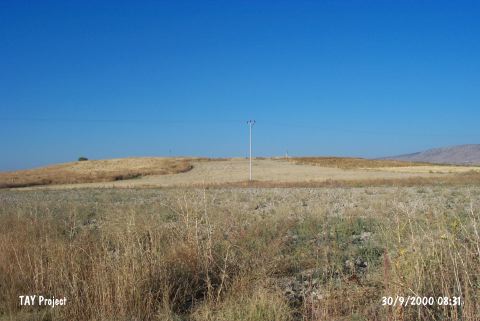 |
|
Type:
|
Mound |
|
Altitude:
|
720 m |
|
Region:
|
Aegean |
|
Province:
|
Denizli |
|
District:
|
Çivril |
|
Village:
|
Yassihöyük |
|
Investigation Method:
|
Survey |
|
Period:
|
EBA II |
|
|
|
 |
|
| It is close to Yassihöyük Village; 6.6 km south of Beycesultan; 13.5 km southwest of Çivril District; northeast Denizli Province. There are three signs for mound to the southeast of the village in the 1:200.000 map. It was discovered by J. Mellaart. It is an EBA II settlement. Yamanlar Höyük and Yassihöyük are displaced in Mellaart's map. The site was re-investugated by E. Abay and F. Dedeoglu during the survey in 2003 season and potsherds resembling the ones known from Beycesultan Late Chalcolithic; EBA 1-2; MBA and LBA layers were found. |
| Location: |
| Geography and Environment: |
| History: |
| Research and Excavation: |
| Stratigraphy: |
| Small Finds: |
| Remains: |
| Interpretation and Dating: |