|
©The Archaeological Settlements of Turkey - TAY Project
|
|
|
|
|
|
Baharlar |
|
|
For site maps and drawings please click on the picture... 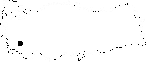 |
For photographs please click on the photo... 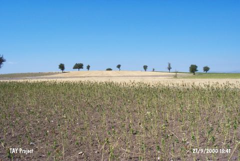 |
|
Type:
|
Mound |
|
Altitude:
|
890 m |
|
Region:
|
Aegean |
|
Province:
|
Denizli |
|
District:
|
Tavas |
|
Village:
|
Baharlar |
|
Investigation Method:
|
Survey |
|
Period:
|
|
|
|
|
 |
|
| This site lies near the village of Baharlar; which is south of the city of Denizli; 17 km southwest of the town of Tavas and 8 km northeast of the district of Kale. It is reported that the Baharlar Mound; which lies in the Tavas Plain; is large in size. The Baharlar village lies between the hills southeast of this plain. The site was discovered by J. Birmingham in 1963 and assigned to the Neolithic. It was revisited by D.H. French and noted as one of the EBA settlements of the region. |
| Location: |
| Geography and Environment: |
| History: |
| Research and Excavation: |
| Stratigraphy: |
| Small Finds: |
| Remains: |
| Interpretation and Dating: |