|
©The Archaeological Settlements of Turkey - TAY Project
|
|
|
|
|
|
Kizilhüyük |
|
|
For site maps and drawings please click on the picture...  |
For photographs please click on the photo... 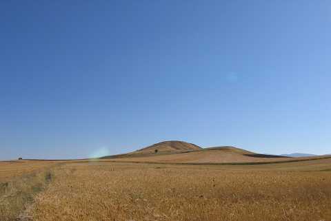 |
|
Type:
|
Mound |
|
Altitude:
|
1120 m |
|
Region:
|
Aegean |
|
Province:
|
Afyonkarahisar |
|
District:
|
Ihsaniye |
|
Village:
|
Bozhöyük |
|
Investigation Method:
|
Survey |
|
Period:
|
EBA I EBA II |
|
|
|
 |
|
| It lies 2.2 km south-southwest of Bozhöyük Town; north of Burhaniye Village; north of Afyonkarahisar Province. It is located about 1.3 km east-northeast of Omuzca-Bozhöyük road; in the area known as Kizilhüyük Mevkii. It is included in the EBA settlements in the guide of the Afyon Archaeological Museum. It could not have been located during the J. Mellaart's survey. The site is recorded as Yaylabag in the map of Afyon Archaeological Museum. |
| Location: |
| Geography and Environment: |
| History: |
| Research and Excavation: |
| Stratigraphy: |
| Small Finds: |
| Remains: |
| Interpretation and Dating: |