|
©The Archaeological Settlements of Turkey - TAY Project
|
|
|
|
|
|
Yogunhisar |
|
|
For site maps and drawings please click on the picture...  |
For photographs please click on the photo... 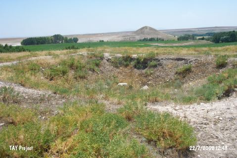 |
|
Type:
|
Mound |
|
Altitude:
|
1185 m |
|
Region:
|
Central Anatolia |
|
Province:
|
Yozgat |
|
District:
|
Bogazliyan |
|
Village:
|
Yogunhisar |
|
Investigation Method:
|
Survey |
|
Period:
|
|
|
|
|
 |
|
| It lies east of the village it was named after within the territory of Bogazliyan District; southeast of Yozgat Province. It is one of the biggest mounds in the region. It measures 24 m in height and 340 m in diameter. It was discovered by the Kaman Kalehöyük excavation team under S. Omura. Presence of an EBA settlement is suggested based on the evaluations of the material collected from the surface. It was named after the nearest village. It takes place in the registered archaeological sites list prepared by Ministry of Culture and Tourism. |
| Location: |
| Geography and Environment: |
| History: |
| Research and Excavation: |
| Stratigraphy: |
| Small Finds: |
| Remains: |
| Interpretation and Dating: |