|
©The Archaeological Settlements of Turkey - TAY Project
|
|
|
|
|
|
Yörüklü / Hüseyindede |
|
|
For site maps and drawings please click on the picture...  |
For photographs please click on the photo... 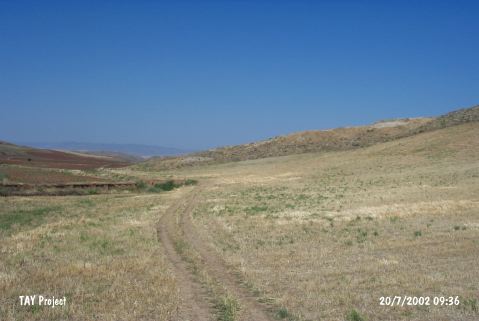 |
|
Type:
|
Flat Settlement |
|
Altitude:
|
735 m |
|
Region:
|
Central Anatolia |
|
Province:
|
Çorum |
|
District:
|
Sungurlu |
|
Village:
|
Yörüklü |
|
Investigation Method:
|
Excavation |
|
Period:
|
|
|
|
|
 |
|
| It lies in Agburun Mevkii at the southern end of Yörüklü Town; northwest of Sungurlu; southwest of Çorum Province. Traces of a small scaled settlement were found during the survey conducted by T. Sipahi and T. Yildirim at the area 350 m north of Hüseyindede Tepesi which was excavated by the same team before. In this area which is damaged due to illicit diggings architectural remains and potsherds were found in the pits and on the surface. It was reported that the handmade; straw-tempered and mono-colored pottery was showing EBA characteristics and they were identified as EBA production by T. Sipahi and T. Yildirim. No settlement for the second millennium BC was located. During the xcavations single layered Hittite cult center was observed [tuncsipahi.googlepages.com/kazÄ%B1programÄ%B1 5.12.2006; 11:00]. |
| Location: |
| Geography and Environment: |
| History: |
| Research and Excavation: |
| Stratigraphy: |
| Small Finds: |
| Remains: |
| Interpretation and Dating: |