|
©The Archaeological Settlements of Turkey - TAY Project
|
|
|
|
|
|
Zengetil |
|
|
For site maps and drawings please click on the picture...  |
For photographs please click on the photo... 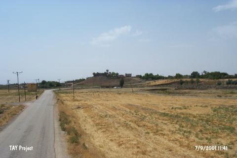 |
|
Type:
|
Mound |
|
Altitude:
|
770 m |
|
Region:
|
Southeastern Anatolia |
|
Province:
|
Diyarbakir |
|
District:
|
Ergani |
|
Village:
|
Bereketli |
|
Investigation Method:
|
Survey |
|
Period:
|
Middle Early |
|
|
|
 |
|
| The mound lies northwest of Diyarbakir; south-southeast of Ergani; on the east bank of Bogazçay; in Bereketli (Zengetil) village. It is discovered during the 1988 Diyarbakir Survey Project conducted by M. Özdogan and Halaf-Ubaid Transition Period sherds are recovered from the surface. On the other hand Özdogan has concluded that during the Ergani Plain Survey; Halaf ware sherds were recovered in only two settlements; namely Çayönü and Yayvan Tepe/Til Huzur; one sherd in each; however; that; such pottery sherds increased to the southern regions. |
| Location: |
| Geography and Environment: |
| History: |
| Research and Excavation: |
| Stratigraphy: |
| Small Finds: |
| Remains: |
| Interpretation and Dating: |