|
©The Archaeological Settlements of Turkey - TAY Project
|
|
|
|
|
|
Zengetil |
|
|
For site maps and drawings please click on the picture...  |
For photographs please click on the photo... 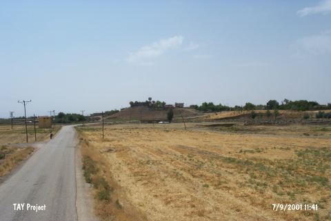 |
|
Type:
|
Mound |
|
Altitude:
|
770 m |
|
Region:
|
Southeastern Anatolia |
|
Province:
|
Diyarbakir |
|
District:
|
Ergani |
|
Village:
|
Bereketli |
|
Investigation Method:
|
Survey |
|
Period:
|
|
|
|
|
 |
|
| It is obscured by Bereketli (Zengetil) Village of Diyarbakir Province. It measures 20 m in height and 200x250 m in dimensions. It was discovered in 1963 by P. Benedict. To the east flows a stream. Except the eastern and northeastern parts; the entire settlement lays beneath the modern village. The mound still gets higher and wider. |
| Location: |
| Geography and Environment: |
| History: |
| Research and Excavation: |
| Stratigraphy: |
| Small Finds: |
| Remains: |
| Interpretation and Dating: |