|
©The Archaeological Settlements of Turkey - TAY Project
|
|
|
|
|
|
Ziyaret Kale |
|
|
For site maps and drawings please click on the picture...  |
For photographs please click on the photo... 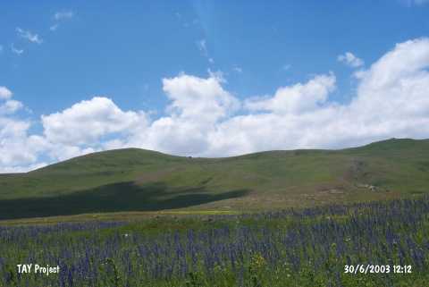 |
|
Type:
|
Upland Settlement |
|
Altitude:
|
1810 m |
|
Region:
|
Eastern Anatolia |
|
Province:
|
Ardahan |
|
District:
|
Hanak |
|
Village:
|
Çayagzi |
|
Investigation Method:
|
Survey |
|
Period:
|
|
|
|
|
 |
|
| It lies 1.5 km west of Çayagzi Village; 4 km to Hanak on the Ardahan-Hanak motorway; northeast of Ardahan Province. It is one of the major settlements in the region. It stands on the summit of a mountain range. Çayagzi Stream which reaches Hanak Plain flows beside the northeast skirts of the mountains. Remains of tower and walls expose that it is a significant settlement. It was discovered during a survey conducted under K. Köroglu in 1996. It was identified as an EBA and Iron Age settlement depending on the limited number of the sherds collected. No information is provided regarding the period of the remains of fortress. It probably dates back to the Urartu Period. Its location overlooking the roads running to the northeast; most probably; played an important role while choosing it as an occupation site by the people of that age. Sherds of the handmade ware in dark surface colors and a sherd typical of the Early Transcaucausian ware are dated to the EBA. |
| Location: |
| Geography and Environment: |
| History: |
| Research and Excavation: |
| Stratigraphy: |
| Small Finds: |
| Remains: |
| Interpretation and Dating: |