|
©The Archaeological Settlements of Turkey - TAY Project
|
|
|
|
|
|
Sinneli |
|
|
For site maps and drawings please click on the picture...  |
For photographs please click on the photo... 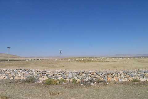 |
|
Type:
|
Mound |
|
Altitude:
|
1000 m |
|
Region:
|
Aegean |
|
Province:
|
Afyonkarahisar |
|
District:
|
Bolvadin |
|
Village:
|
Derekarabag |
|
Investigation Method:
|
Survey |
|
Period:
|
|
|
|
|
 |
|
| It lies in Derekarabag village of Bolvadin district of Afyon province. It is located 50 m east of Derekarabag village; immediately south of Bolvadin-Büyükkarabag road and 5 km west of Ortakarabag. The mound is 8 m in height; it is 600 m long in east-west direction and 200 m long in north-south direction. There are two cemeteries on the site; one dated to Ottoman Period and an other contemporary. Plenty of pottery sherds dated to EBA found at the site. It takes place in the registered archaeological sites list prepared by Ministry of Culture and Tourism. |
| Location: |
| Geography and Environment: |
| History: |
| Research and Excavation: |
| Stratigraphy: |
| Small Finds: |
| Remains: |
| Interpretation and Dating: |