|
©The Archaeological Settlements of Turkey - TAY Project
|
|
|
|
|
|
Karakaya |
|
|
For site maps and drawings please click on the picture...  |
For photographs please click on the photo... 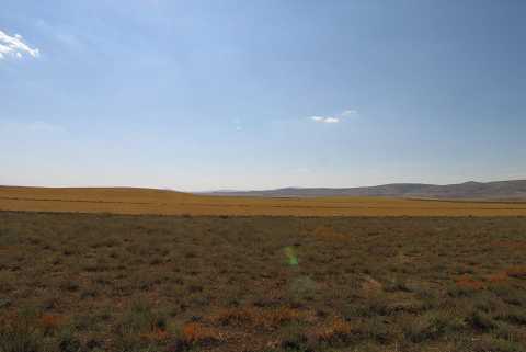 |
|
Type:
|
Mound |
|
Altitude:
|
1000 m |
|
Region:
|
Aegean |
|
Province:
|
Afyonkarahisar |
|
District:
|
Bolvadin |
|
Village:
|
Derekarabag |
|
Investigation Method:
|
Survey |
|
Period:
|
|
|
|
|
 |
|
| It is located in Bolvadin district of Afyon province. The site lies 3 km west of Derekarabağ village; 10 km southeast of Dipevler village; 5 km north of Bozkuş hill. The site is consist of three hills; two of them are connected and the third one lies immediately north. The space it covers is approximately 1.5 km. Agricultural activities being done on the settlement. Chalcolithic and EBA materials found on the surface . There is an example of horsehoe shaped lug and a bucket handle. |
| Location: |
| Geography and Environment: |
| History: |
| Research and Excavation: |
| Stratigraphy: |
| Small Finds: |
| Remains: |
| Interpretation and Dating: |