|
©The Archaeological Settlements of Turkey - TAY Project
|
|
|
|
|
|
Çataltepe |
|
|
For site maps and drawings please click on the picture...  |
For photographs please click on the photo... 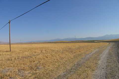 |
|
Type:
|
Mound |
|
Altitude:
|
1005 m |
|
Region:
|
Aegean |
|
Province:
|
Afyonkarahisar |
|
District:
|
Bolvadin |
|
Village:
|
Ortakarabag |
|
Investigation Method:
|
Survey |
|
Period:
|
|
|
|
|
 |
|
| The site is located in Bolvadin district of Afyon province. It lies 3.4 km north of Ortakarabag village; approximately 20 km south of Büyükkarabag town; 10 km east of Derekarabag; 300 m south of Bolvadin-Cukurcak road and 5 km north of lake of Eber. Today agricultural activities takes place on the settlement. The south one of the two main hills forming the settlement is 140 m; the north one is 170 m in dimension. The hills have become sharp pointed because of agriculture. The pottery sherds which had local features and dated to EBA were collected from the surface. It takes place in the registered archaeological sites list prepared by Ministry of Culture and Tourism. |
| Location: |
| Geography and Environment: |
| History: |
| Research and Excavation: |
| Stratigraphy: |
| Small Finds: |
| Remains: |
| Interpretation and Dating: |